
For people living in a state of food insecurity, the effects of intense weather can be catastrophic.
In southern Africa, more than 50 million people live in a state of food insecurity and are prone to the effects of changing weather patterns. With La Niña conditions predicting above-average rainfall in southern Africa during the first half of 2025, the United Nations’ World Food Programme (WFP) identified the need to create more predictive data to forecast where will be most affected by flooding and cyclones.
Predictive maps make it easier to plan for flooding and cyclones
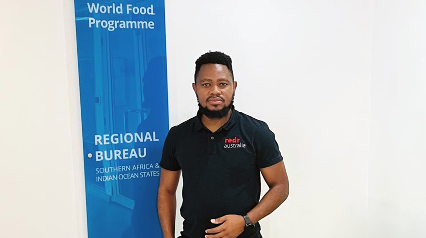
With generous support from the United Kingdom’s Foreign, Commonwealth and Development Office (FCDO), RedR Australia roster member Pianos has deployed to WFP’s South Africa office as a Geographic Information Systems (GIS) Officer. While his role is broad and covers many aspects of GIS, mapping and data analysis, much of his attention is focused on flood hazard modelling, which means WFP can quickly identify high-risk areas during the high-rainfall and cyclone season.
“All the maps I've produced are used to identify flood-prone areas. These maps include flood-prone regions such as Madagascar, Mozambique, Malawi, Lesotho, Zambia and the Democratic Republic of Congo (DRC). These maps are used by the emergency preparedness team to allocate resources efficiently in high-need areas before flooding occurs,” explained Pianos.
“This includes staff, food and non-food items, as well as developing early-warning messages for communities. The team can identify where to target using my maps, which are modeled using data from historic trends. The maps are not the only tool they use, but they are an important tool.”
During a crisis, sharing knowledge is critical
In addition to Pianos’ role responding to mapping and data needs from across southern Africa, he works hard to support the existing GIS officers working across the region. During a time with large global funding cuts to the humanitarian sector, this has become even more urgent.
“I know that my deployment is temporary and, at a time when the entire sector is being heavily impacted by the funding crisis, my primary task has been to build the capacity in the wider GIS team,” said Pianos.
“I am supporting 12 countries in southern Africa and all of these operations have GIS Focal Points with different technical capacities. With the WFP regional office in South Africa closing soon, I want to make sure the team is strong.”
Pianos has established GIS lab clinics, which are fortnightly sessions for all the GIS officers in the region to talk about their GIS work and their current challenges.
“It's a technical field that needs close collaboration—conversations with like-minded individuals who share your skill set,” said Pianos. “I came at a time when we were preparing for the La Niña season, knowing we're expecting heavy rainfall. So, the bulk of my work has been on flood analysis and cyclonic impact analysis and training my colleagues to carry on this work after my deployment finishes.”
With the effects of funding cuts looming, Pianos has also been working to move WFP’s mapping to open-source tools, which are more sustainable in the long term.

GIS lab clinics have helped to share critical knowledge between WFP focal points in southern Africa.
Mapping is transforming the humanitarian sector
With mapping and data increasingly being used in the humanitarian sector, there are new opportunities to support those affected by crises.
As Pianos explains, people who control the data can craft the story and influence decision makers. And in the humanitarian sector, the aim is to use data to help as many people as possible.
“Traditionally, maps were static visuals—but this is no longer the case,” explained Pianos. “Maps are becoming central to how UN agencies and partners plan, prioritise and act.”
With resources becoming more scarce and crises continuing, real-time mapping allow organisations to be more targeted about where to send precious resources.
“Maps are being used to make quicker and smarter decisions. Humanitarian work is becoming more data driven. This has been happening for quite some time, and geospatial analysis is currently at the center of this shift.”
From maps to the field—transforming lives though smarter decisions
For Pianos, the passion for his work is more than just technical proficiency.
“I am motivated to work with a product that is going to transform the lives of those in need,” said Pianos. “Seeing my work being referenced in a meeting means my work is going all the way to where it matters most. It keeps me going, to be honest.
“Because at the end of the day, if we don't transform the lives of those in need, what are we here for?”

What kind of person can work in mapping?
For those looking to work in GIS, Pianos says there are a number of attributes you need to succeed. Aside from loving data, he says you need to be adaptable.
“Within the GIS sector, especially within humanitarian work, every context is different,” said Pianos. “Currently I'm responding to 12 different requests every day. Sometimes they need a GIS solution. Sometimes they need a data analytics approach. So, one needs to be curious—as well as solutions oriented.”
And, critically, you must be able to connect the data with real people.
"At the end of the day, the goal is to help people,” explained Pianos. “Don't just produce complex spatial products that people can’t interpret. You need to have the ability to connect the data you're working with to the people it is intended to help.”
Supporting decisions that save lives
For Pianos, helping communities drives all his work.
“I am passionate about this work because I know the maps and data I produce are directly used to support people in need, especially during emergencies,” said Pianos.
“In this particular deployment, it includes flood-risk maps and cyclone-impact analysis. And all these outputs are helping WFP and their partners to prepare and respond faster, especially during emergencies.”
Knowing this makes the technical deskwork worthwhile.
“I find it's rewarding to see my work making a tangible difference to those in need. This is not only from the technical perspective, but it’s rewarding to see how when I translate technical information into insights, these can be used to make life-saving decisions.”
Learn more about the work of RedR Australia’s roster members.
